News and resources
1 minute(s) read
Video: Can satellite earth observation help to save the planet?
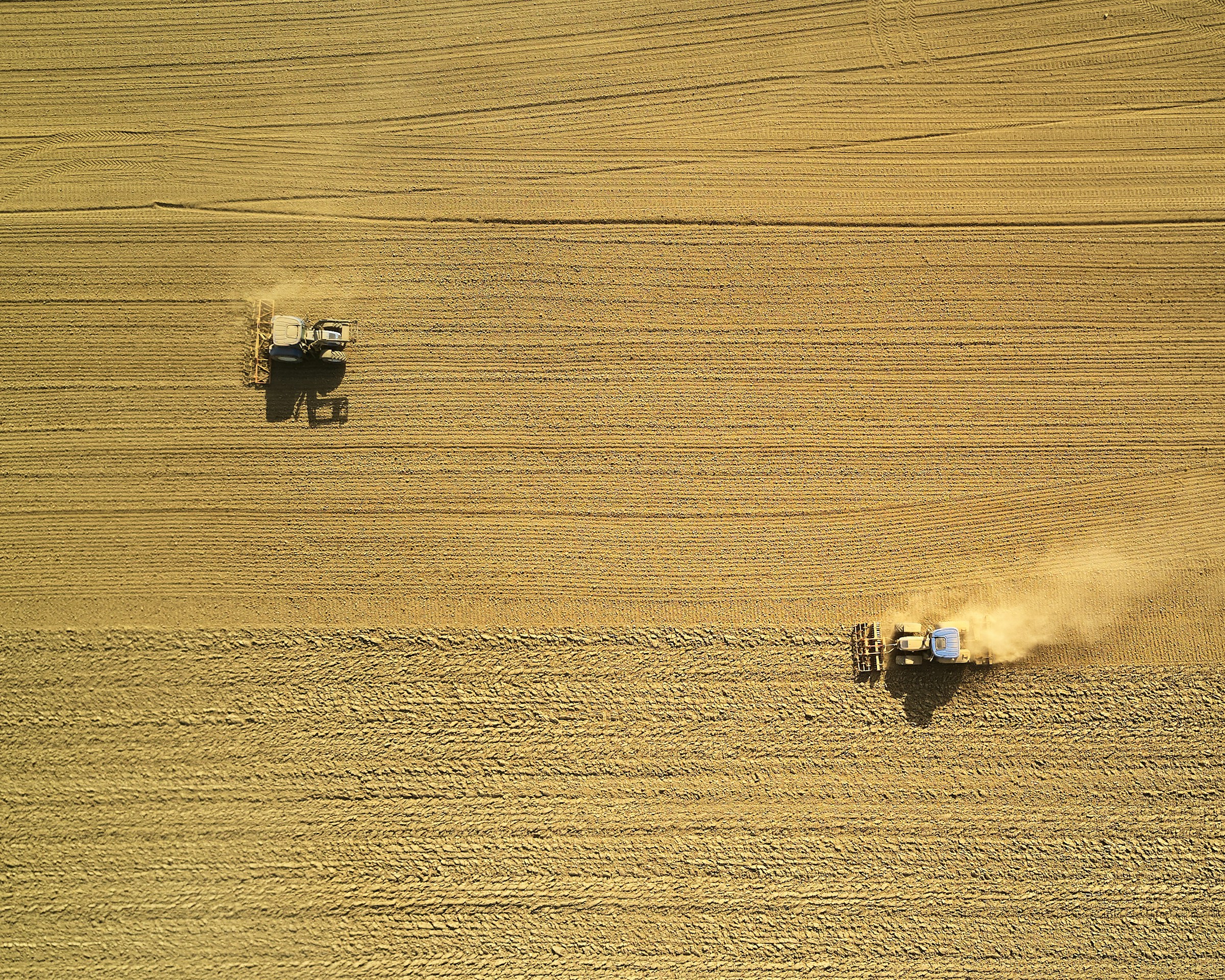
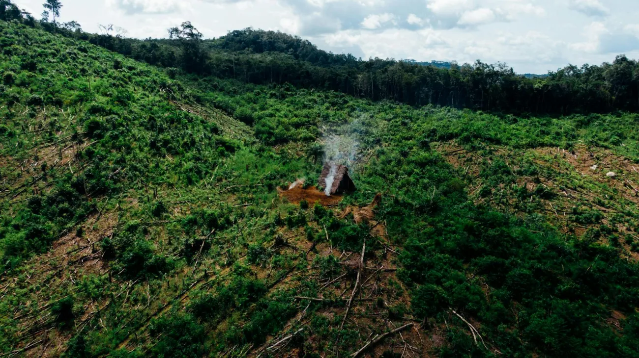
The 2019 Green Alliance Annual Debate discusses the ways in which earth observation and data science can improve our understanding of and ability to address environmental issues - for example, monitoring deforestation or water levels in reservoirs in real time through satellite images.
Image
 Satellite, Wikimedia Commons, Public domain")
Speakers include:
- Will Marshall, co-founder of Planet, which uses satellite data to track environmental issues.
- Sam Adlen, chief strategy officer at Satellite Applications Catapult.
- Corli Pretorius, deputy director at UNEP World Conservation Monitoring Centre.
- Dr Emily Shuckburgh of the British Antarctic Survey.
- Professor Ian Boyd, chief scientific adviser to the UK’s Department for Environment, Food and Rural Affairs.
View the debate here and read a summary here and a relevant blog post here. See also the Foodsource chapter Food systems and contributions to other environmental problems.
PUBLISHED
26 Feb 2019
Comments (0)