Resource
Tracking the global footprint of fisheries
This paper presents the findings of a large-scale study which used global tracking data on sea-going vessels to characterise the scale, distribution and drivers of the global fishing effort.
 caught during a trawl survey. California, Southern California Bight, Wikimedia Commons, public domain.")
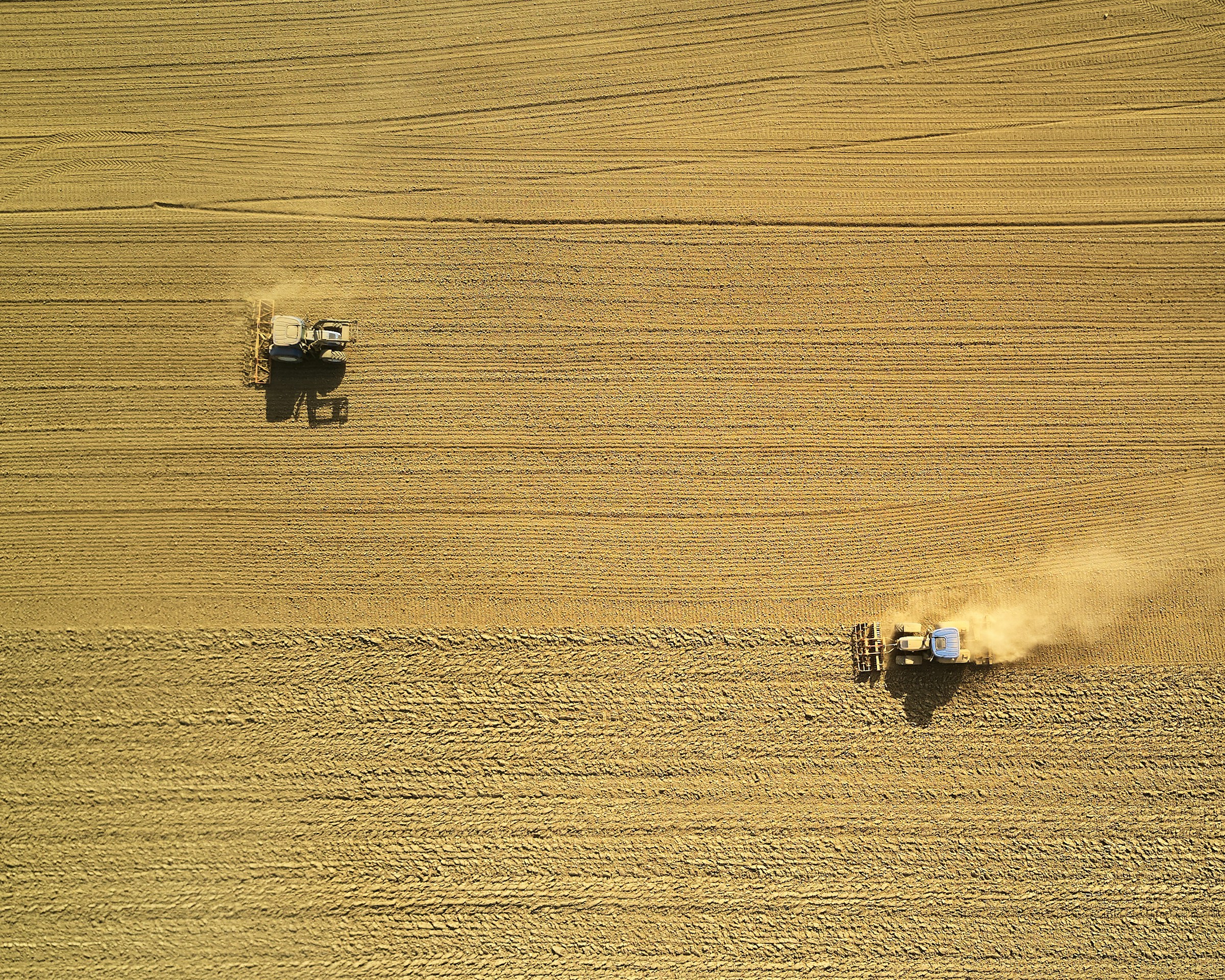
The authors took advantage of the recent expansion in the use of the automatic identification system (AIS), which is used by a high proportion of sea-going vessels to prevent collisions. Two convolutional neural network models were trained to recognise fishing vessel characteristics and fishing activity using an AIS dataset where the vessel and fishing activity characteristics were already known. The resulting trained system could detect vessel and fishing activity characteristics from AIS data where those characteristics were not known in advance. The system characterises fishing effort at a global level, at an astonishing level of precision in both time (to within an hour) and space (to within a square kilometre). The resulting data set tracked the activities of more than 70,000 identified fishing vessels. This is only a small proportion of the world’s estimated 2.9 million motorised fishing vessels, but accounts for more than 50% of the largest (longer than 24 m) vessels. The authors estimate that the vessels for which they have AIS data account for between 50 and 70% of the fishing effort in the open ocean. Note that this study uses the data simply to characterise the current fishing effort, and, as may be inferred from the title, is not concerned with assessing its impact.
The key findings from the analysis of these data are:
- In one year (2016) the data set captured 40 million hours of fishing activity.
- The northeast Atlantic (Europe), northwest Pacific (China, Japan and Russia) and upwelling regions off South America and West Africa represented global fishing effort hotspots.
- The Southern Ocean, parts of the northeast Pacific and central Atlantic and the Exclusive Economic zones (EEZs) of many island states are associated with lower fishing effort.
- Dividing the ocean into an equal area grid with 0.5° resolution (at the equator) the researchers observed fishing in 55% of the grid squares, which they state is likely an underestimate, due to some areas having poor satellite coverage (required to pick up the AIS signals) or lots of vessels not using AIS. Accounting for these regions, the authors calculate that around 73% of the ocean was likely fished in 2016.
- The spatial distribution of this large fishing effort varies by fishing method employed. The three most widespread fishing methods were long-lining, purse-seining (in which a net, weighted on the bottom edge and buoyed up on the top is lowered vertically into the water, surrounds the fish then is drawn shut with a line around the bottom to enclose the fish), and trawling. These methods were detected in 45%, 17% and 9.4% of the ocean respectively, with trawling most prevalent at higher latitudes, purse-seining in tropical regions, and longlining everywhere in between. Longliners make the longest journeys, working across oceans, while trawlers and purse-seiners tend to be active on a more regional scale.
- Most nations fish predominantly in their own EEZ, but 85% of observed fishing effort on the high seas (i.e. international waters) is accounted for by China, Spain, Taiwan, Japan and South Korea.
- Fishing fleets tend to be much more affected by political and cultural drivers than natural ones: the researchers observe only small seasonal variations in fishing effort (as well as some shifts in latitude associated with sea surface temperature changes linked to El Niño) and find fishing effort to be only very weakly associated with net primary productivity. On the other hand, they find strong annual fishing decreases at mid-latitudes, coinciding with the annual Chinese moratorium on fishing, a smaller annual drop in fishing effort at higher latitudes coinciding with Christmas, and even weekends having a detectable effect on non-Chinese fishing fleets (Chinese vessels don’t vary their activity much over the week). The effect of El Niño - shifting the Pacific Ocean fishing fleets longitudinally - was similar in magnitude to a change in policy: the Phoenix Islands Protected Area becoming off-limits to industrial fishing in 2015.
- The authors built a monthly time-series from their dataset to analyse fuel price effects on fishing effort and found only a modest effect (they predict that a 10% increase in fuel prices would correspond to a 0.6% decrease in fishing activity). They note that fuel subsidies may decouple fisheries from energy costs.
The authors conclude that fishing is similar to other forms of modern food production in that it is partially insulated from natural drivers (such as annual variations in net primary productivity, i.e. rate at which ocean organisms take up carbon from the atmosphere) and is influenced more by policy and culture. They note that the footprint of fishing is much larger than that of terrestrial food production (the area of ocean that is industrially fished is four times that covered by terrestrial agriculture), despite supplying only 1.2% of global calories for human consumption (the paper does not mention what fraction of protein or other nutrients fish provide). They suggest that the lightly-fished regions of the ocean may provide marine conservation opportunities, and recommend that the data-set generated in this study be used as a tool to improve global-scale ocean governance.
Abstract
Although fishing is one of the most widespread activities by which humans harvest natural resources, its global footprint is poorly understood and has never been directly quantified. We processed 22 billion automatic identification system messages and tracked >70,000 industrial fishing vessels from 2012 to 2016, creating a global dynamic footprint of fishing effort with spatial and temporal resolution two to three orders of magnitude higher than for previous data sets. Our data show that industrial fishing occurs in >55% of ocean area and has a spatial extent more than four times that of agriculture. We find that global patterns of fishing have surprisingly low sensitivity to short-term economic and environmental variation and a strong response to cultural and political events such as holidays and closures.
Reference
Kroodsma, D.A., Mayorga, J., Hochberg, T., Miller, N.A., Boerder, K., Ferretti, F., Wilson, A., Bergman, B., White, T.D., Block, B.A. and Woods, P., 2018. Tracking the global footprint of fisheries. Science, 359(6378), pp.904-908.
Read the full article here. See also the Foodsource resource How do food systems affect fish stocks and marine habitats?


Comments (0)