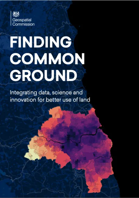
This report is based on the findings of the UK Geospatial Commission’s National Land Data Programme (NLDP). It explores how innovative data science (such as geospatial modelling, combining disparate data sets, and AI) can lead to better land-use management in the UK.

The first section of the report describes how the challenge of improving land-use is fundamentally a spatial issue which requires improvements in how data, science and innovation are used. Section two discusses this in the context of land use pressures in six sectors (from energy, housing, biodiversity, food, water, and transport) and the associated data gaps for decision making.
Finally, the third section makes four key recommendations for how to integrate data, science and innovation into land-use management. These are to:
- Establish a Land Use Analysis Taskforce, bringing together spatial data and scientific expertise to assess competing land use pressures and ensure land management priorities can be delivered throughout the UK.
- Champion market innovations that develop visualisation and decision making tools and allow the UK to make more effective land use choices that reflect the views of local shareholders.
- Strengthen the links between land use policy design, academic research and industry practice by using the Department for Science, Innovation and Technology to promote interdisciplinary collaboration.
- Develop a standard approach to classifying key land use data. This should encourage and coordinate improvements to the accessibility, interoperability and reusability of key data and better link it to land use.
Read the full report here. See also this associated news article from the Food, Farming, and Countryside Commission and the TABLE explainers What is land use and land use change? and What is the land sparing-sharing continuum?


Comments (0)